Halifax Field Naturalists
Purcell's Cove Aug. 18, 2012 | 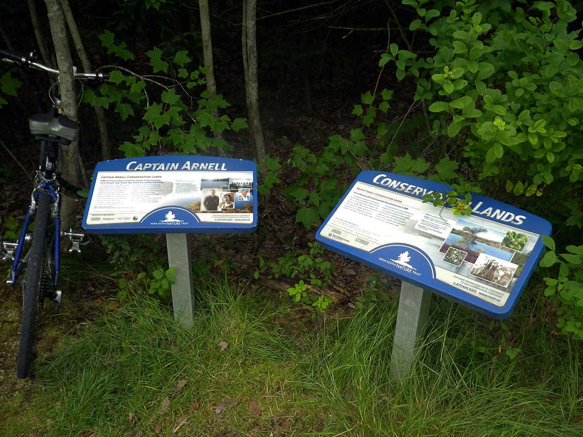 Signs at trailhead, just off Purcell's Cove Road (close to civic No 601)
Click on images for larger versions |
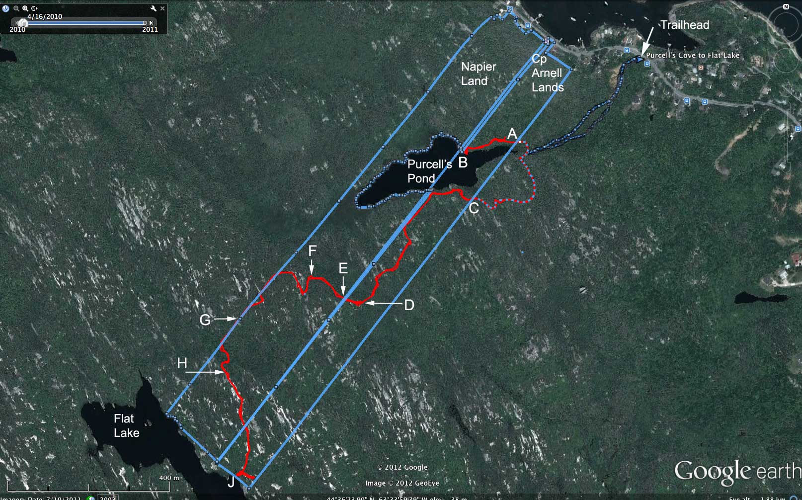 The inventory was restricted to parts of the trail lying within the PCCL shown by the solid red line (from GPS track for the event). We documented species separately for Not Burnt sections (A to B, C to D, E to F, G to H & small wetland at J) and Burnt sections (D to E, F to G, H to J) of the trail. The fire moved from beyond Flat Lake towards Purcell's Pond stopping finally at Point D. Burnt areas centred around high barrens, lower wet areas did not burn.
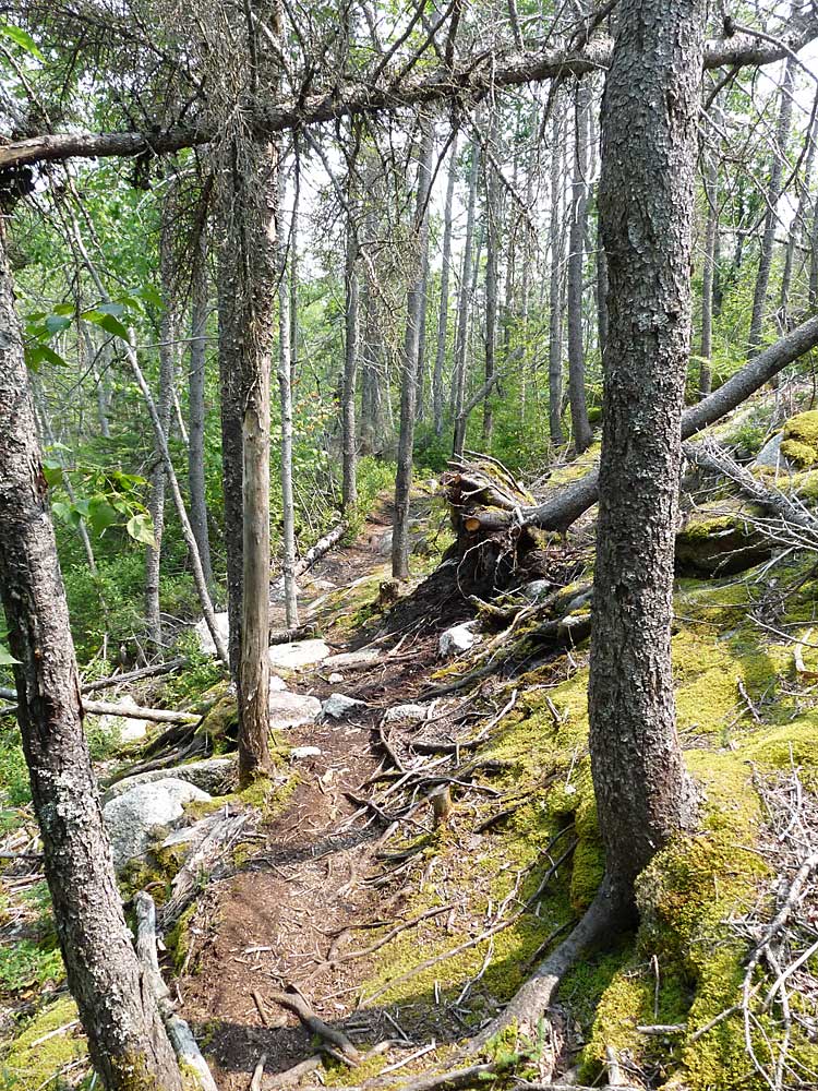
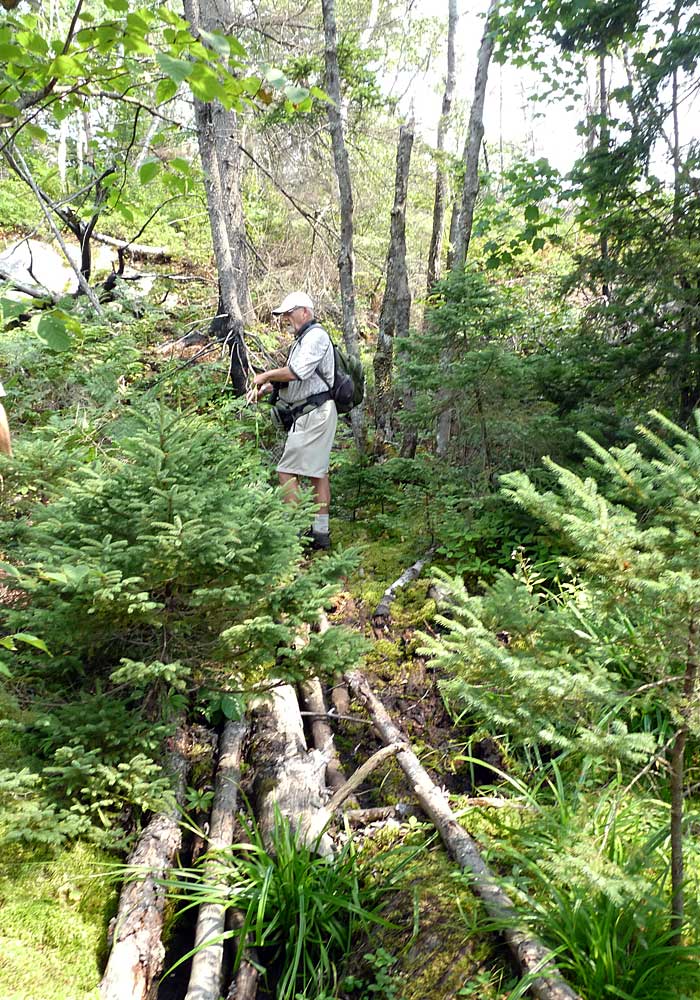
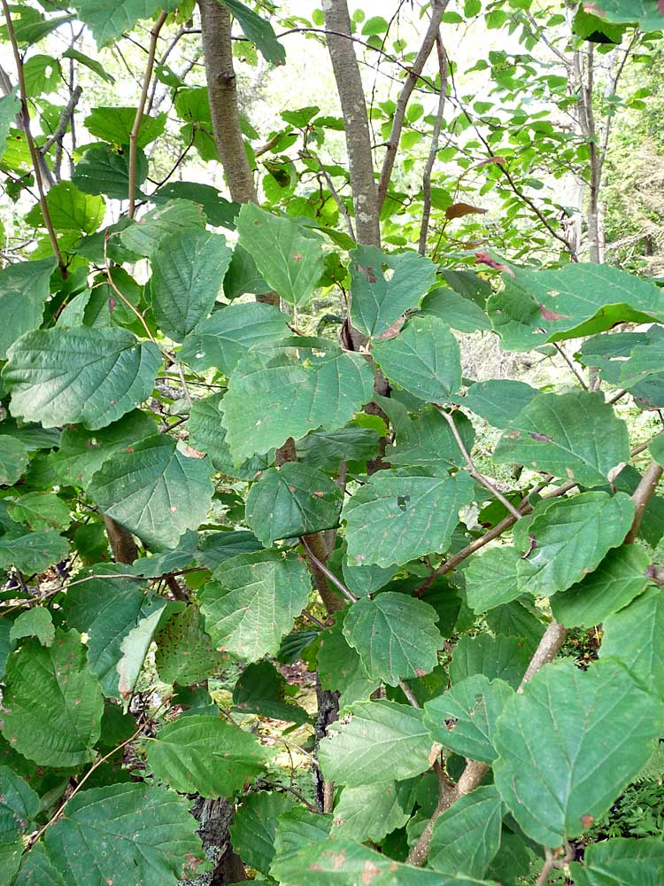
At Right: In the section of the trail between Purcell's Cove Road and Purcell's Pond, the trail goes alongside, across, or close to the stream draining Purcell's Pond (photo), also it goes through areas there is some accumulation of till and through steep embankments leading down to the stream. Moisture-loving, and species characteristic of older forests such as witch hazel, striped maple and yellow birch are common in that area, but are largely absent from the trail beyond the bottom of Purcell's Pond. | 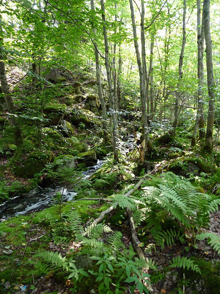 |
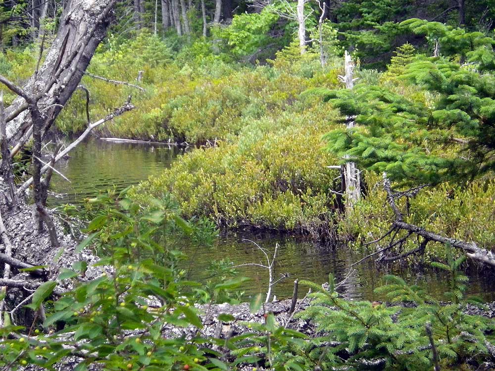 Wetland at outlet of Purcell's Pond where stream begins. It's outside of PCCL, however, leatherleaf-dominated wetland of this sort borders much of the lake within PCCL boundaries. (GPS coords for photo: 44.606270,-63.572690) | SECTION A-B (Not Burnt)  At Point B on north side of Purcell's Pond, looking east towards the wetland and stream. Black Spruce is abundant in wetter land close to the Pond. |
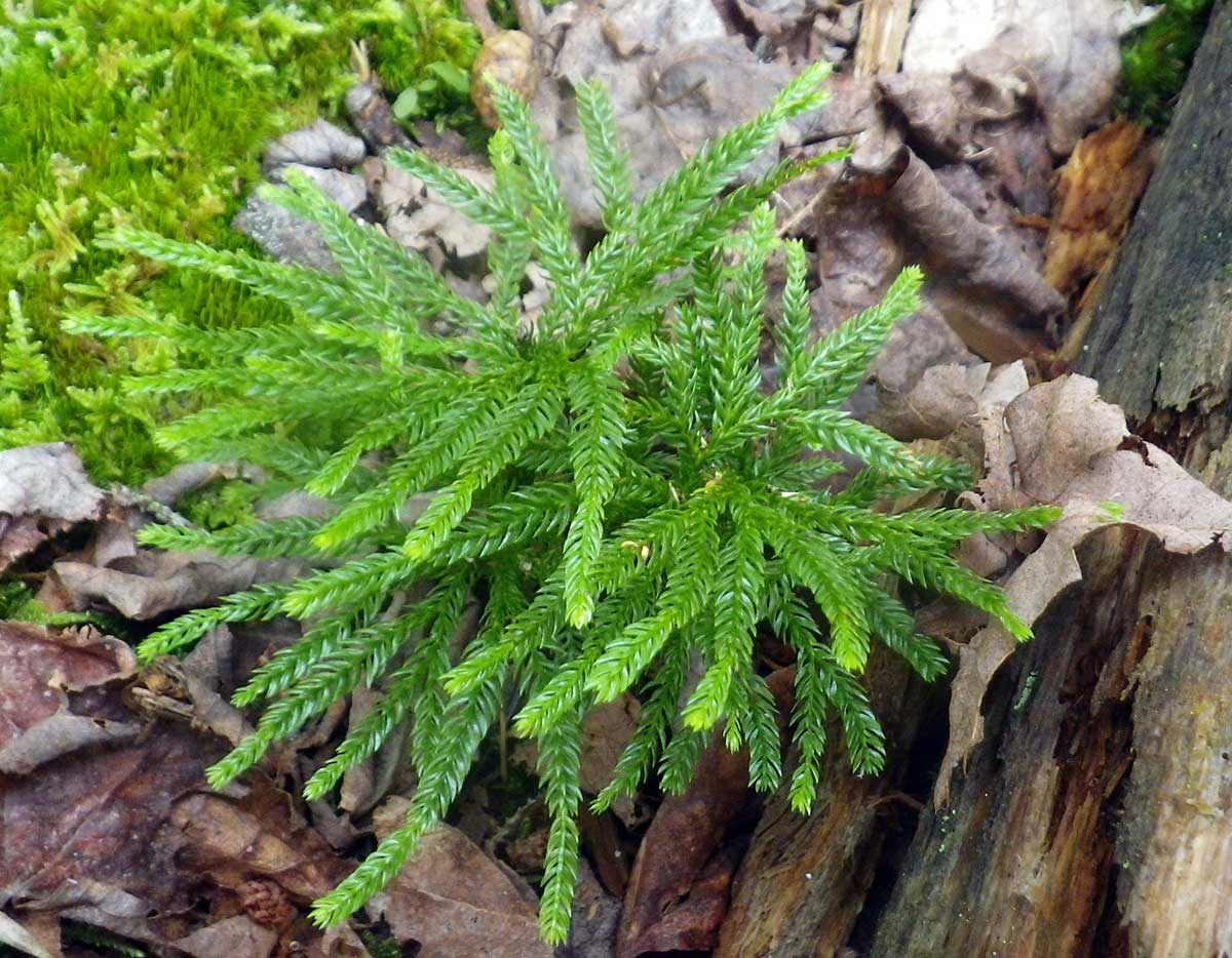 Tree Clubmoss under spruce by Purcell's Pond, section A-B. A new record but likely present previously, just not recorded |
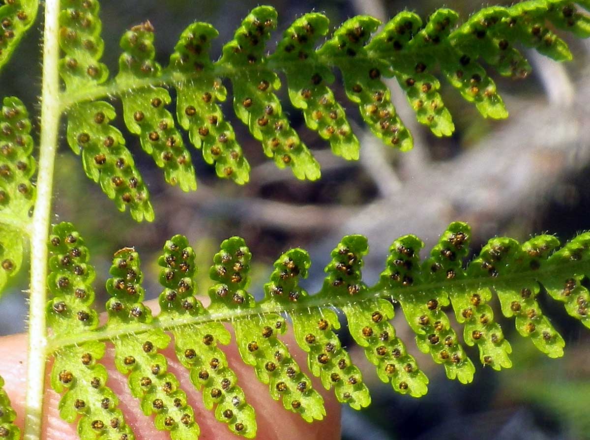
Pinnules & sori of Hayscented Fern in section A-B. A new record but likely present previously. We had some discussion of how hayscented fern is distinguished from New York Fern which was on our Provisional List. One feature: hayscented fronds are twice cut, those of NY Fern, thrice cut. |
SECTION C - D (Not Burnt)
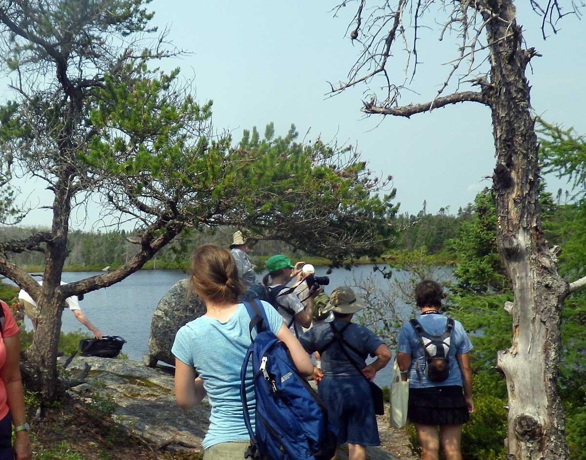 Group on south side of Purcell's Pond (44.605527,-63.574747) |
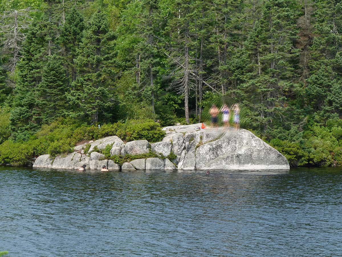 Swimmers on north side of pond viewed from south side. The Pond is a favoured simming spot & visitors respect the area - we rarely pick up garbage. |
 Jack Pines on outcrops by Purcell's Pond, south side, make for very picturesque settings. (Photo July 26) |
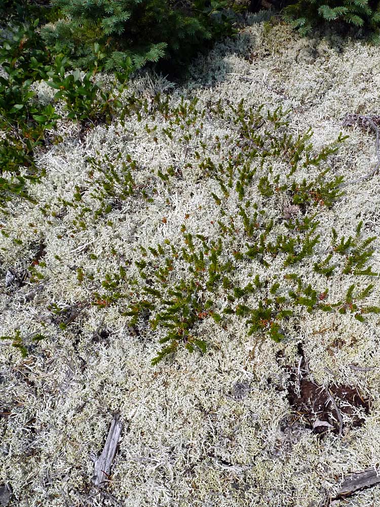
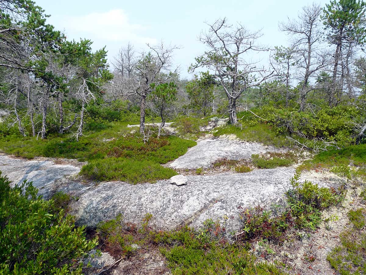 Jack Pine barrens on higher outcrop (44.604230 -63.576222). Ground vegetation is predominantly Black Huckleberry and Broom Crowberry. Right: Broom Crowberry and Reindeer Lichen: common associates. Broom Crowberry is an Atlantic Coastal Plain species with healthy populations only in Nova Scotia. However, they are diminishing due to development, not in PCCL! |
|
 False Holly (Mt. Holly) in a more moist area; it's deciduous. |
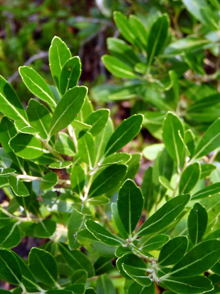 "Bob's Inkberry". Inkbury is an evergreen holly. It's an Atlantic Coastal Plain species most common in the SW part of NS. There is just one small patch of inkbury on the PCCL trail. (44.603390 -63.577382) |
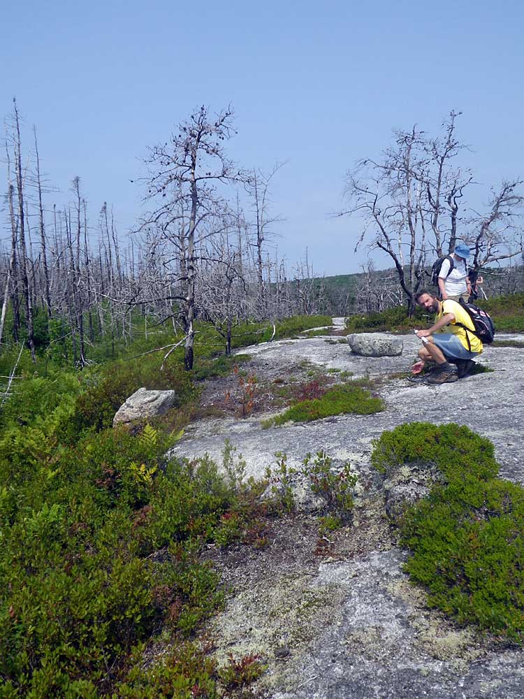
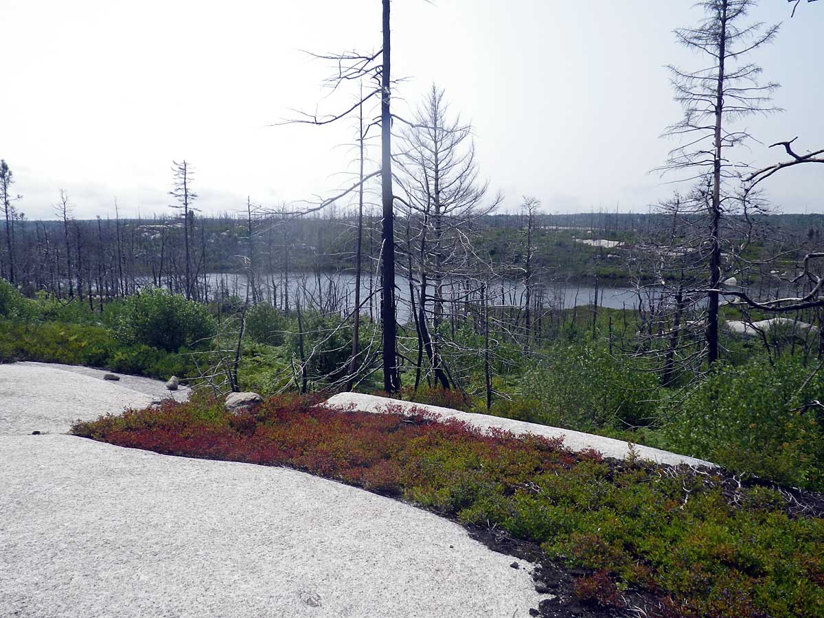
 View towards southwest across low, wet area onto high barrens. The fire stopped at this area as it moved towards Purcell's Pond from Flat Lake. Burnt forest can be seen on the high barrens in the distance. (44.603558,-63.577183) |
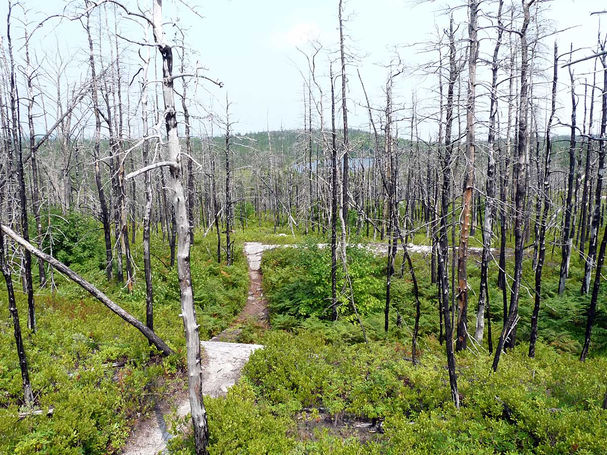
 Boardwalk over wetland before burnt area, viewed on the return (looking away from the burnt area). (44.602903 -63.577767) |
SECTION D-E (Burnt)
 | Beginning of first burnt area as we walk towards Flat Lake. (44.602940,-63.577742 ) |
SECTION E-F (Not Burnt)
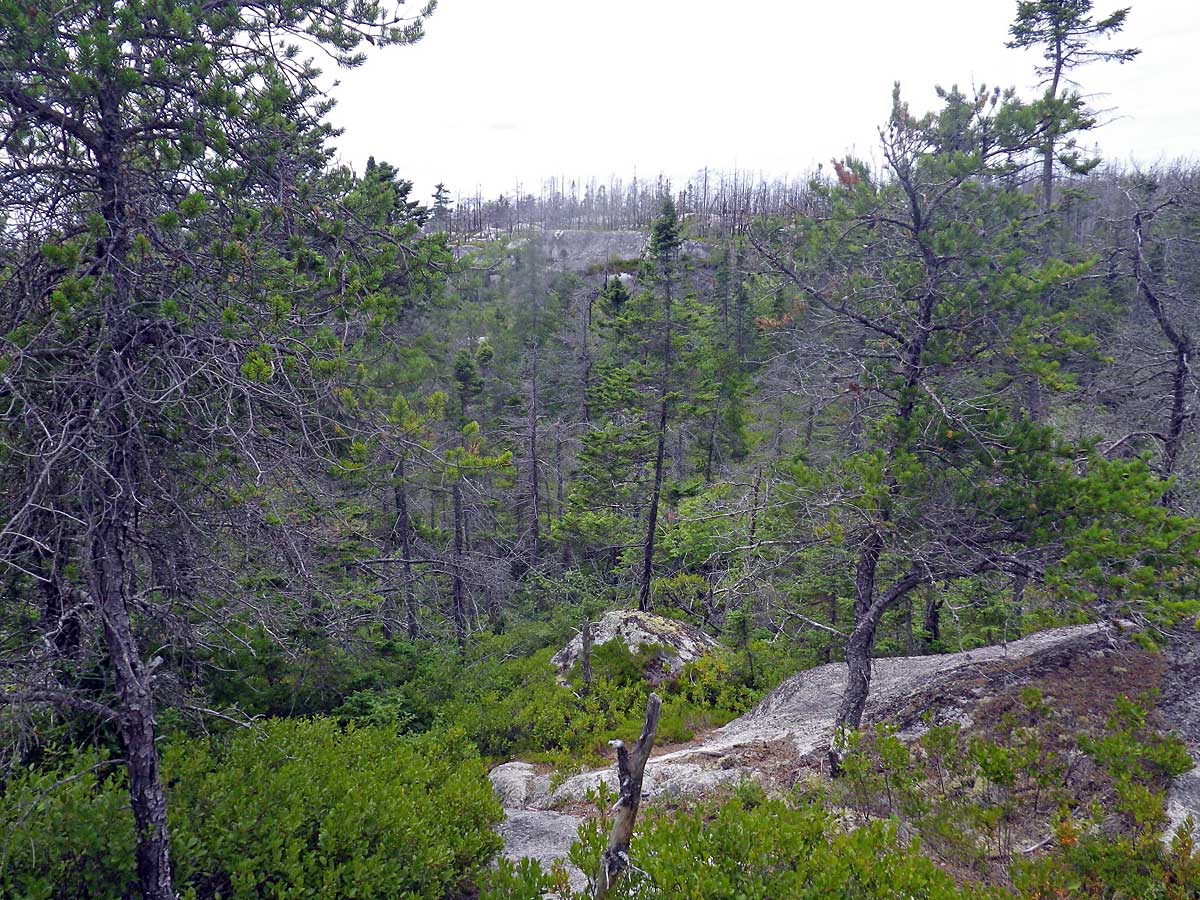
 Trail winds around the lee (not burnt) of a higher, burnt barrens area to the south (right in photo) Viewed on return walk. |
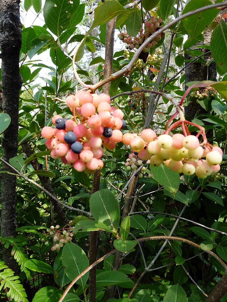 Wild Raisin fruit, with a few ripe (purple) berries. Wild Raisin in burnt areas was also in fruit. |
SECTION F-G (Burnt)
 Burnt forest, mostly Black Spruce, some Wire Birch, Red Maple (44.603140,-63.579582). It sits in a broad depression on the high barrens. It is seasonally wet, but was not wet enough or large enough to stop the fire. Right: Trail goes over exposed granite (44.603173,-63.579590). Broom crowberry, Lowbush Blueberry, Bracken Fern & Black Huckleberry are visible. |
|
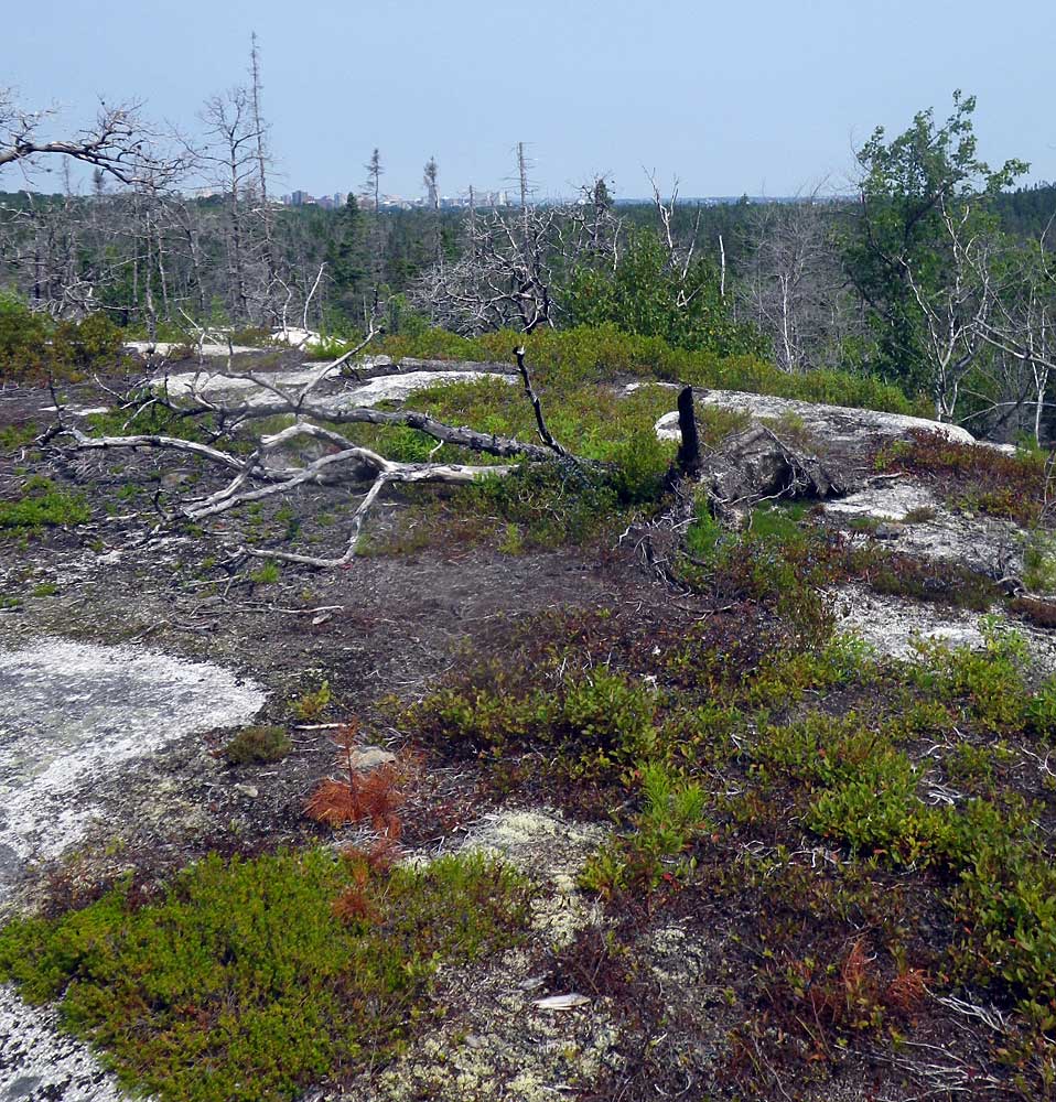 Looking North, downtown Halifax can be seen on the skyline. Fallen, burnt Jack Pine; drop to low lying wetland to the right (east). The fire stopped here. (44.603268,-63.579603) |
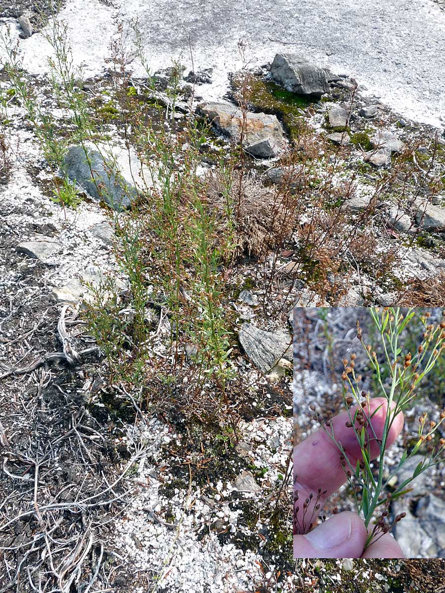 Pinweed. New record. Some plants appear to be drought-killed. (44.603605,-63.579888) |
 Last view of Purcell's Pond (looking back), or first view on the return walk. (44.603309 -63.580676) Right: A large patch of Golden Heather; much of it appeared drought-killed, but with some regrowth in some plants - see large version. (44.602909, -63.580928) |
|
SECTION G-H (Not Burnt)
 Low, wet area between high barrens. In photos, Black Spruce, Red Maple, sedges (above); Wood Aster (right, above); Witch-hazel (right, below). |
|
SECTION H-J (burnt)
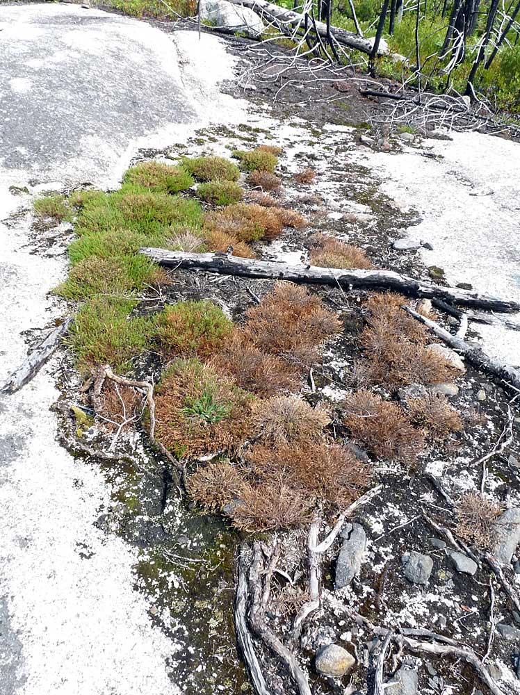
 Jack Pine seedlings, Lowbush blueberry. Dead, fire-killed rhizomes of Broom crowberry are visible. dead tree is a Jack Pine. |
 A larger Jack Pine seedling, likely from a seed that germinated in summer of 2009. (The fire ocurred April 30/May 1, 2009). |
 Drought-stressed lowbush blueberry - leaves senescing while in full fruit. |
 A large patch of Mountain Sandwort; much of it has been drought-killed. |
 NW-SE oriented granite outcrops on slope towards Flat Lake. |
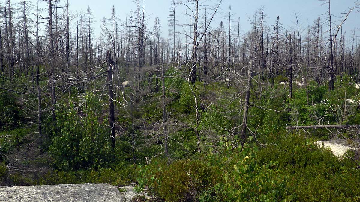
View of Flat Lake (44.599762,-63.581325). Fire-killed trees are Big Tooth Aspen, Red Maple, Birch (White &/or Wire Birch), Red Maple, all regenerating from stump sprouts; Black Spruce - seedlings not seen, no other evidence of regeneration yet. |
AREA J (Wetland bordering Flat Lake)
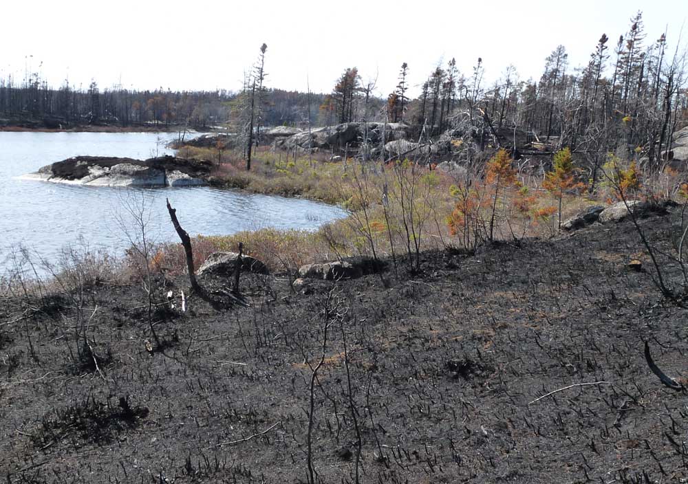
 The wetland immediately adjacent to the lake was largely spared from the fire, but note burnt trees just a little above it, also burnt trees of the other side of the lake. View Photo on May 15, 2009. |
 Rubus hispidus, a creeping blackberry. |
 Tawny Cotton Grass |