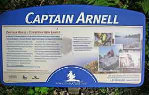
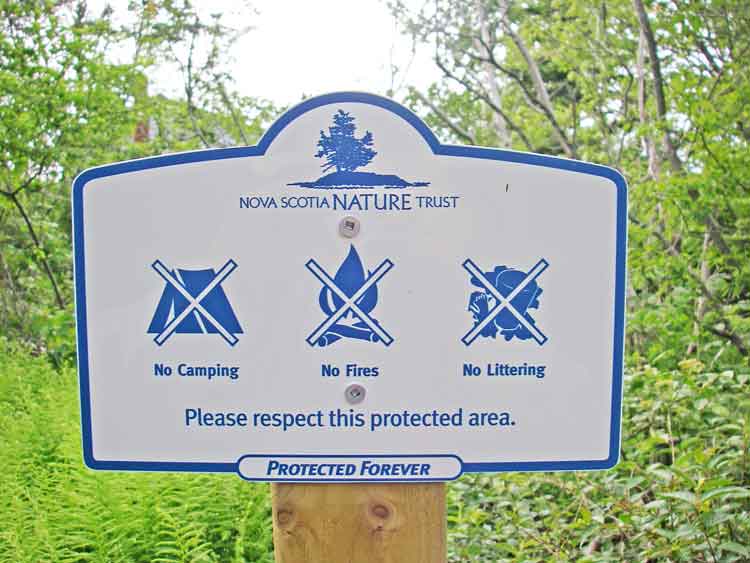
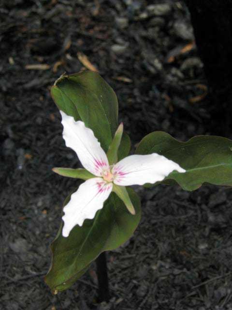
These lands include unusually diverse wildlife habitats ranging from rugged granite coastal headlands, undeveloped shorelines contained within undisturbed watersheds, bogs, granite barrens, freshwater lakes and a developing hardwood forests. HFN donated funds towards the land survey of the Capt. Arnell Conservation Lands and legal processing and agreed to conduct a biological inventory of the property. The inventory is an ongoing process with field trips conducted to date on June 2 & 4, 2006; Sept. 22, 2007; and May 4, 2008. The survey is made along a hiking trail which traverses both the Capt. Arnell Conservation Lands and the Napier Family Conservation Lands. On April 30/May 1, 2009, an intense forest fire "cut a swath though Spryfield, Purcell's Cove and Ferguson's Cove." (Chronicle Herald May 2, 2009). A substantial part of the Capt. Arnell lands was affected. Here, we are compiling photos and formal and informal reports by HFN members of the post-fire state and recovery of these lands. Please forward items to hfnwebmaster@yahoo.ca. (Pre-fire photos are also sought.) Click on images for more photos & descriptions.SEE ALSO:
|

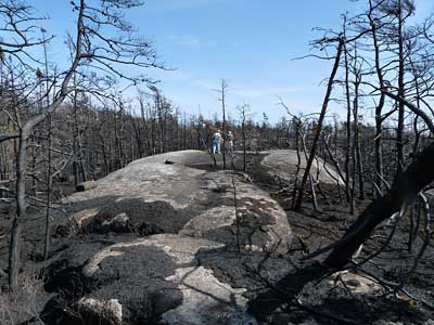
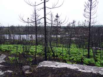
 Sept. 22, 2009